Torres del Paine Weather Month by Month: The Real Numbers
Twelve months of real averages for temperature, rain, wind and daylight, and an honest account of what those numbers hide once you are on the trail.
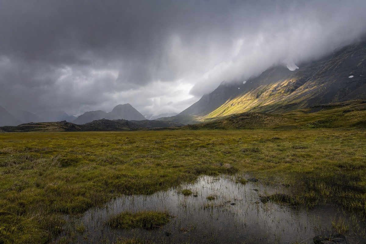
The number people quote about this park is 193 kph, a gust reported by regional sources, and it is the least useful figure in Patagonian weather. What actually determines whether your trip works is duller: an average high that never gets past 13.1 C, rainfall that never drops below 103 mm in any month, daylight that swings from 8 hours to 17, and an average wind that sits between 28.5 and 37 kph all year round. The climate here is not extreme so much as relentlessly unsettled, and the numbers below say so month by month.
Average high temperature, month by month
Figures are the 1991 to 2021 Puerto Natales normals, 112 km from the park. The massif itself runs colder, wetter and windier than the town.
What is the average temperature in Torres del Paine by month?
Average highs run from 1.9 C in July to 13.1 C in February, with lows from minus 2.3 C in July to 6.8 C in February. That is a total annual swing of about 11 degrees, which is remarkably narrow. Summer is cool, winter is cold but not severe, and no month is warm. The full set of figures is below.
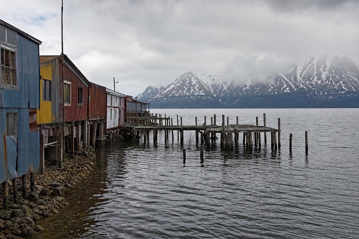
One caveat before the table. These are the 1991 to 2021 normals for Puerto Natales, 112 km from the park, cross-referenced with the wind data published on the Puerto Natales climate record. The park itself is windier and wetter than the town, particularly on its western side. Treat every row as a regional baseline that the massif will exceed rather than as a park reading.
| Month | Avg high | Avg low | Precipitation | Wet days | Avg wind | Daylight |
|---|---|---|---|---|---|---|
| January | 12.6 C / 54.7 F | 6.6 C / 43.9 F | 147 mm | 16 | 32 kph | 16.5 h |
| February | 13.1 C / 55.6 F | 6.8 C / 44.2 F | 120 mm | 13 | 31 kph | 15.0 h |
| March | 11.4 C / 52.5 F | 5.6 C / 42.1 F | 145 mm | 15 | 30 kph | 13.0 h |
| April | 8.4 C / 47.1 F | 3.2 C / 37.8 F | 154 mm | 14 | 29 kph | 11.0 h |
| May | 4.9 C / 40.8 F | 0.2 C / 32.4 F | 119 mm | 12 | 28.5 kph | 9.5 h |
| June | 2.2 C / 36.0 F | -1.9 C / 28.6 F | 105 mm | 11 | 29 kph | 8.0 h |
| July | 1.9 C / 35.4 F | -2.3 C / 27.9 F | 104 mm | 12 | 30 kph | 8.5 h |
| August | 2.9 C / 37.2 F | -1.5 C / 29.3 F | 107 mm | 12 | 31 kph | 10.0 h |
| September | 5.4 C / 41.7 F | 0.1 C / 32.2 F | 103 mm | 12 | 32 kph | 12.0 h |
| October | 8.2 C / 46.8 F | 2.0 C / 35.6 F | 127 mm | 14 | 33 kph | 13.5 h |
| November | 9.9 C / 49.8 F | 3.8 C / 38.8 F | 154 mm | 15 | 37 kph | 15.5 h |
| December | 11.5 C / 52.7 F | 5.6 C / 42.1 F | 155 mm | 16 | 34 kph | 17.0 h |
Three patterns are worth pulling out. The wettest month is December and the driest is September, which is the reverse of what most visitors assume. The windiest is November and the calmest is May. And the wet-day count never falls below 11, so rain is not a season here, it is a constant with a volume dial.
December and January: the long-day peak
Highs of 11.5 and 12.6 C, lows of 5.6 and 6.6 C, and daylight of 17.0 and 16.5 hours. In late December Puerto Natales sees roughly 05:00 sunrise and 22:00 sunset. December is also the wettest month of the year at 155 mm across 16 wet days, and January matches it at 147 mm over 16. Long, bright, and often wet.
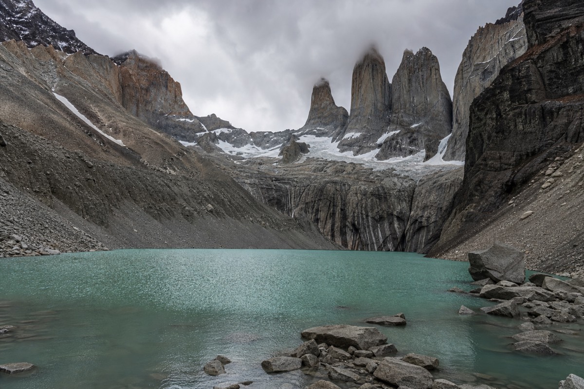
On the trail those daylight figures change what is possible. An 8 to 10 hour hike to the towers fits inside a 17-hour day with seven hours to spare, which means a late start is recoverable and a two-hour stop at the top costs you nothing. It also means the light at either end of the day is long and low, and the middle of the day is flat and harsh.
What people underestimate is the wind chill against those temperatures. A 12 C afternoon with a 60 kph gust across the Nordenskjöld shoreline is not a 12 C afternoon in any meaningful sense. Every walker on that section is in a windproof shell regardless of what the thermometer says, and the same applies on the moraine at the top of the Ascencio valley where the air comes straight off the ice.
These are the busiest months by a wide margin. January and February carry the bulk of the park's 367,426 annual visitors, and older estimates put those months near 30,000 visitors each. If your dates are locked to them, the trade is worth making deliberately rather than by default, and the season-by-season case for and against each window lays out the alternatives.
February and March: the warmest air and the first calm
February is the warmest month of the year at 13.1 C average high and 6.8 C low, and the driest of the summer at 120 mm across 13 wet days. March cools to 11.4 C and 5.6 C with rain back up to 145 mm, but average wind eases to 30 kph and daylight is still 13 hours. This pair is the best walking weather the park offers.
February's advantage over January is not temperature, it is rain days: 13 against 16. Three fewer wet days in a month is the difference between one washed-out day and two on a five-day trek. Its disadvantage is that it is equally busy, and the beds went at the same time January's did.
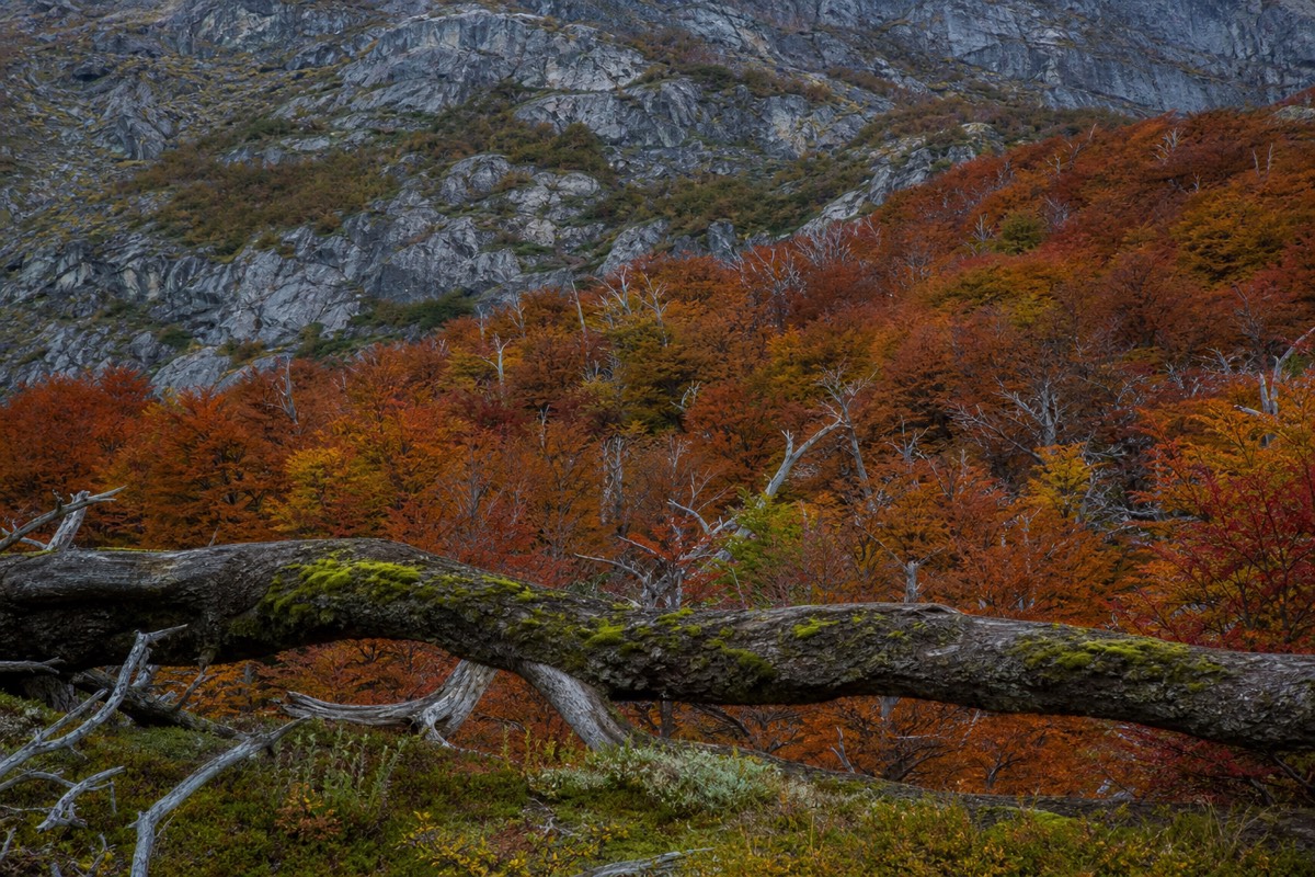
March is where the trip gets quieter without getting worse. Thirteen hours of daylight still comfortably contains a Base Torres day. The lenga forest in the Ascencio valley begins to turn. Wind at 30 kph average is measurably calmer than the spring peak. And the accommodation season runs to about 25 April, so March sits safely inside it.
For a day visitor, either month works without qualification. The full-day circuit from Puerto Natales covers Laguna Amarga, Salto Grande, the Nordenskjöld viewpoint and Lago Pehoé, all of which are at their best when the water is calm enough to hold a reflection, and that is a February and March phenomenon more than a November one.
April and May: colour, then the shutdown
April drops to 8.4 C highs and 3.2 C lows with 154 mm of rain, and daylight falls to 11 hours. May is colder again at 4.9 C and 0.2 C, but it is the calmest month of the year at 28.5 kph average wind and the second driest at 119 mm. April is beautiful. May is quiet, cold and restricted.
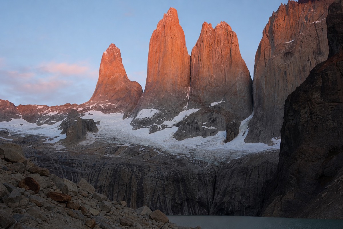
The eleven hours of April daylight is the number that reorders itineraries. A hike published at 8 to 10 hours no longer has margin inside an 11-hour day, so April walkers either start before sunrise or accept finishing after sunset, and a headtorch stops being optional. The reward is the autumn colour in the beech forest and light that stays low all day.
May changes the rules rather than the weather. The Base Torres trail requires an authorised guide from 27 April, the Las Torres camping season closes around 25 April, and gate hours shift to the low-season 08:00 to 18:30. The air is at its calmest all year, which is genuinely pleasant, but the park you can access is smaller.
An average low of 0.2 C in May means frost most nights and ice on the moraine sections in the morning. Guided trips carry crampons for exactly this. Anyone walking in April or May should read what to actually put in the pack, because shoulder-season kit is a different list from summer kit.
June and July: the coldest and darkest
July is the coldest month at 1.9 C average high and minus 2.3 C average low, and June is barely warmer at 2.2 C and minus 1.9 C. Daylight bottoms out at 8.0 hours in June, roughly 09:30 to 17:30 in late June. Both months are among the driest of the year at 105 and 104 mm. Cold and dark, but not as wet as summer.
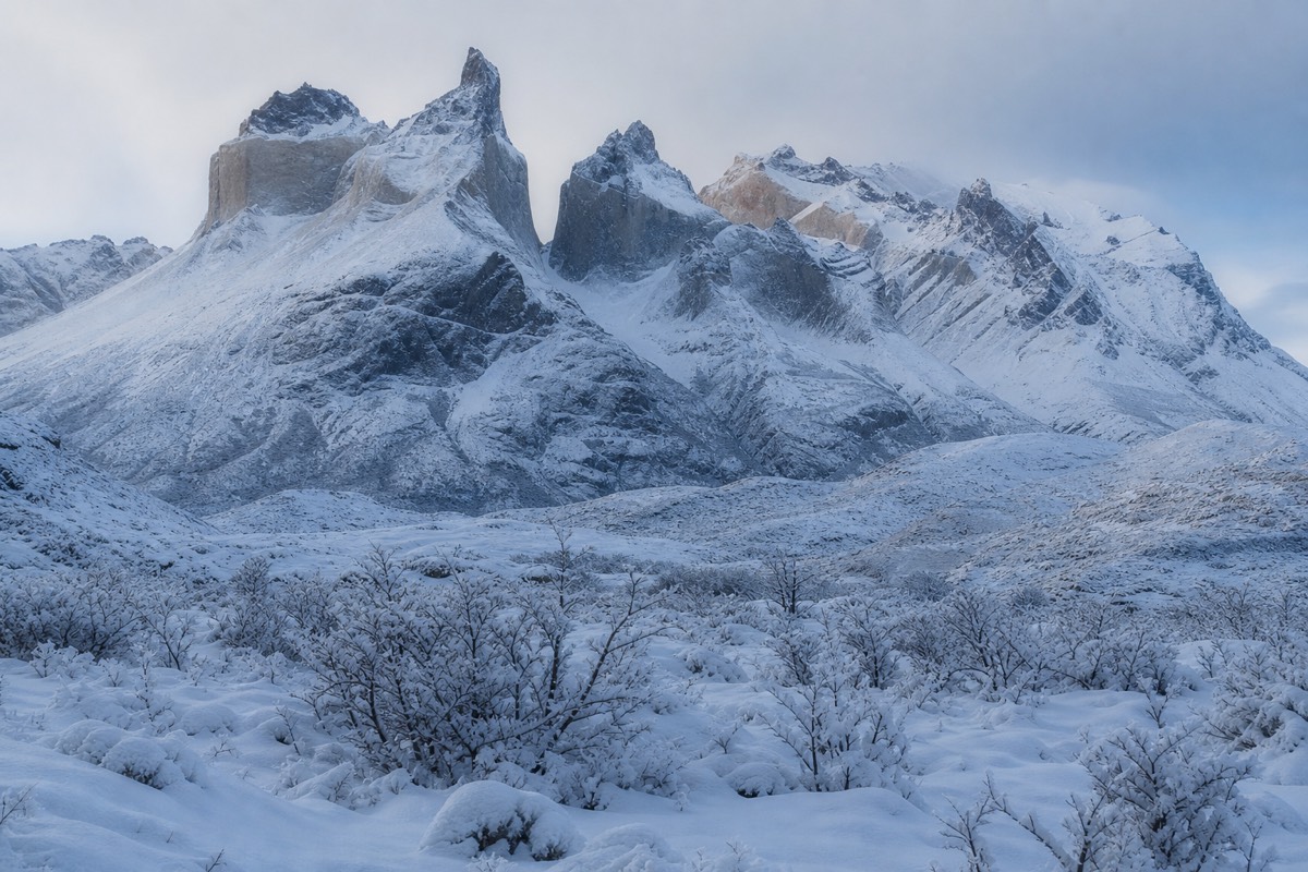
That last point genuinely surprises people. Winter here receives about a third less precipitation than December, and the wet-day counts of 11 and 12 are the lowest of the year alongside September. What falls is more likely to be snow, which is likely at trail level from June to August and possible in any month at altitude.
Eight hours of daylight rules out the long trails entirely for anyone not moving fast. A 21 km round trip with 1,041 m of ascent does not fit in a June day with any safety margin, which is one practical reason behind the guided-only rule on the Base Torres trail from 27 April to 30 August 2026. Guided winter parties run a tighter ratio, 1:4 rather than the summer 1:6, and carry crampons as standard.
What winter looks like is worth saying plainly: snow on the granite, ice at the lake edges, guanaco herds concentrated on the lower steppe, and almost nobody else. The guided Base Torres day trip is the way that trail is legally walked in these months. Confirm current restrictions on CONAF's park page before committing, since the dates are reset each season.
August and September: the driest air and the reopening
August warms slightly to 2.9 C highs with 107 mm of rain and 10 hours of daylight. September is the driest month of the entire year at 103 mm across 12 wet days, with 5.4 C highs, lows right at freezing and daylight back to 12 hours. These two months are the best-kept numbers in the table.
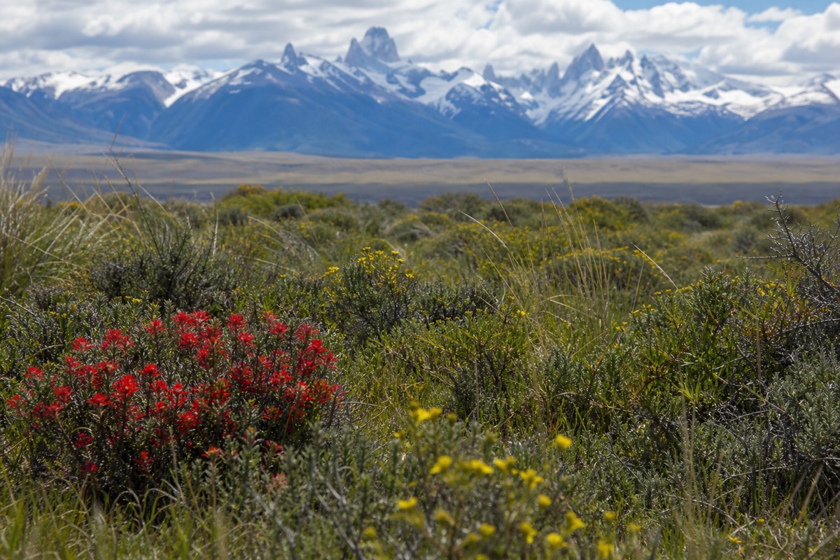
September's combination is unusual: the least rain, a reasonable 12 hours of light, and average wind of 32 kph that is already climbing towards the spring peak. It is a genuinely good month to be in the park with a vehicle and a guide. It is a poor month to plan a trek, because the concessionaire accommodation season has not opened.
The guided requirement on the Base Torres trail runs to 30 August 2026, so the very end of August is the transition point on paper. In practice most refugios open around 1 October, Paine Grande and Grey among them, with Dickson later at about 1 November, so early September belongs to day trips and lodges rather than to the W.
For a September visit built around water rather than trails, the three-hour Grey Glacier cruise is the strongest option, sailing Lago Grey to a face published at over 25 metres above the water. The caveat is the same one that applies all year: wind cancels sailings regularly, and September wind is already rising.
October and November: the reopening and the wind
October brings 8.2 C highs, 13.5 hours of daylight, 127 mm of rain and the reopening of the refugio season around 1 October. November is warmer at 9.9 C with 15.5 hours of daylight, but it carries the year's strongest average wind at 37 kph and 154 mm of rain across 15 wet days. Spring is generous with light and mean with air.
October is arguably the most underrated trekking month in the calendar. Gate hours return to the high-season 07:00 to 21:00, the beds are open, daylight is back above 13 hours, and the summer crowd has not arrived. The temperature is roughly April's, but the season is opening rather than closing, which matters if weather forces you to reschedule a day.
November divides opinion for a reason. Thirty-seven kph average wind is 30% above May's, and averages hide the gusts. But November is when the steppe flowers, when guanaco calving is underway, and when the light is at its most dramatic because the frontal systems that bring the wind also bring the clearings. Photographers pick it deliberately.
If you are in the park in November, plan the exposed sections for the morning and expect afternoon plans to change. The catamaran across Lago Pehoé and the Grey cruise are both wind-cancelled with no notice, which is why building a spare day into the itinerary matters more in spring than at any other time.
Recommended tours by season
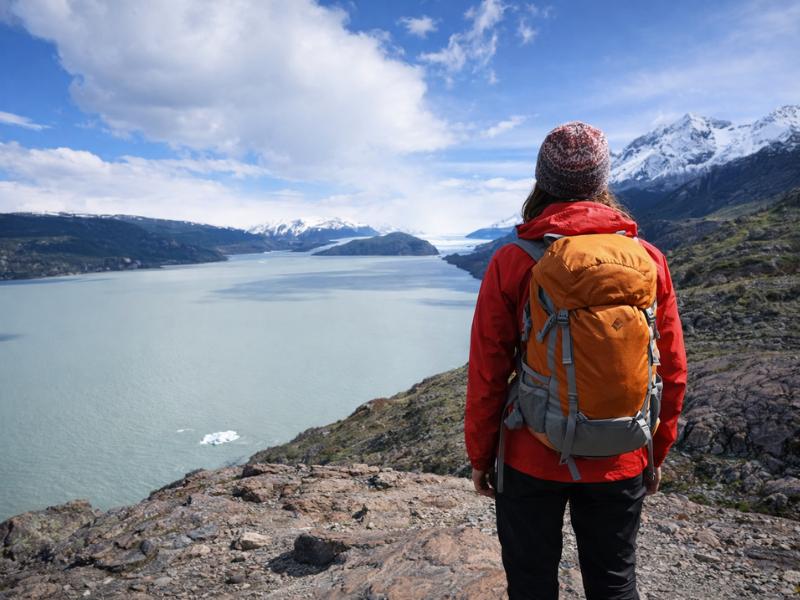
5-Day Torres del Paine W Trek – Guided Patagonia Adventure
For December through March, when daylight holds a full walking stage and the refugios are open.
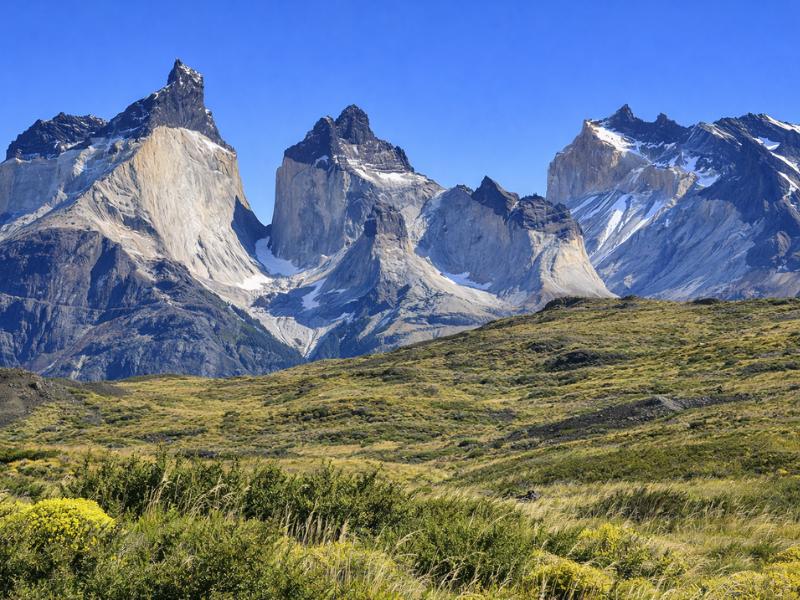
Torres del Paine Full-Day Adventure Tour from Puerto Natales
A guided loop of the lakes and viewpoints from Puerto Natales, without an 8-to-10-hour hike. The day-visit option across the open gate year.
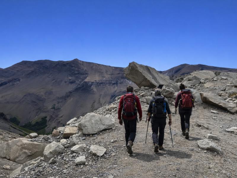
Torres del Paine Base Torres Trekking Day Trip from Puerto Natales
The walk to the towers as a day trip. Guided, with crampons, in the months when independent access is closed.
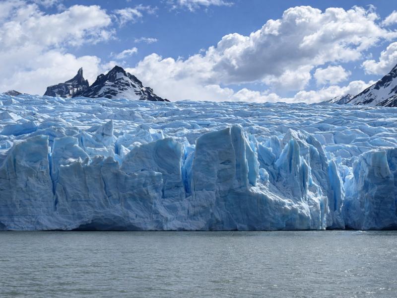
Torres del Paine: 3-Hour Grey Glacier Scenic Cruise
Three hours on Lago Grey to the glacier face. A water day for months when trail time is short, subject to wind cancellations.
How windy does it really get in Torres del Paine?
Monthly averages sit between 28.5 and 37 kph all year. Everyday summer gusts of 60 to 100 kph are what walkers actually encounter on exposed ground, and regional sources have reported gusts up to about 193 kph, or 120 mph, in the park. That last figure is an extreme, not a normal, and quoting it as typical misleads people. The pattern matters more than the peak.
| Wind | Speed | What it does |
|---|---|---|
| Monthly average, calmest to windiest | 28.5 to 37 kph | Background condition, constant |
| Everyday summer gusts | 60 to 100 kph | Braced walking on exposed shoreline and moraine |
| Reported extreme | about 193 kph / 120 mph | Reported by regional sources, rare |
The daily rhythm is more useful than any of those numbers: the wind almost always builds through the afternoon. That single fact explains why guided departures leave Puerto Natales between 06:30 and 07:00, why the towers are usually walked at first light, and why an afternoon catamaran booking is a bigger gamble than a morning one.
Practical consequences add up quickly. Wind cancels the Grey Glacier sailings and the Pudeto catamaran, which is a 30-minute crossing with only a handful of daily departures in high season. It makes tent pitching a two-person job. Rental agents warn about wind damage to car doors, which is a real claim on real policies rather than a figure of speech. And on the Nordenskjöld shoreline it turns an easy 11 km leg with 200 m of ascent into a four-hour slog.
Why is the west side so much wetter than the east?
The western sector of the park is significantly wetter than the eastern steppe, which is why the Grey sector can be under rain while Laguna Amarga is dry the same afternoon. The massif sits between the Southern Patagonian Ice Field and the open pampa, and weather crossing it drops most of its water on the way over. One park, two climates.
This has direct planning consequences. A forecast for Puerto Natales, or for the park as a single entity, cannot tell you what the Grey trail is doing. If your itinerary can be reordered, the eastern trails around the towers and Laguna Amarga are the better bet on a wet westerly day, and the Grey day is the one to reschedule.
It also explains why the "four seasons in one day" description is accurate rather than a slogan. Frontal systems crossing the massif genuinely deliver sun, cloud, rain and clearing inside an hour, and the boundary between the wet west and the dry east is where you notice it most sharply. The eastern steppe around Laguna Amarga is where the guanaco herds and the flamingo lagoons are, and it is dry country by comparison.
For anyone walking the western arm, the four ways to reach Grey Glacier covers which of them survive bad weather. The cruise does not sail in high wind, but the walk from Paine Grande, 11 km each way, goes ahead in most conditions.
How much daylight do you get, and how does that change the plan?
From 8.0 hours in June to 17.0 hours in December. Late December gives roughly 05:00 sunrise and 22:00 sunset in Puerto Natales; late June gives roughly 09:30 to 17:30. Against a Base Torres day published at 8 to 10 hours, that is the difference between seven hours of margin and none at all. Daylight, not temperature, is what limits a Patagonian itinerary.
| Month | Daylight | Margin over a 10-hour hike | What that allows |
|---|---|---|---|
| December | 17.0 h | about 7 hours | Late start, long stop at the top, sunset descent |
| February | 15.0 h | about 5 hours | Comfortable full day with photography time |
| March | 13.0 h | about 3 hours | Normal start, no dawdling |
| April | 11.0 h | about 1 hour | Pre-dawn start or a headtorch finish |
| June | 8.0 h | none | Long trails do not fit, guided access only |
| October | 13.5 h | about 3.5 hours | Full trekking day, season open |
There is a second daylight effect that has nothing to do with safety. In midsummer the sun is up for so long that golden light arrives at hours most travellers are asleep or eating dinner, which is why summer photographs of the towers so often look flat. In April and October the good light lands inside normal walking hours.
Gate hours track the same curve. High season, October to April, the gates run 07:00 to 21:00. Low season, May to September, they run 08:00 to 18:30. Weather can change both, and neither is a guarantee that a given trail is open.
Which months are driest, and which nights drop below freezing?
September is the driest month at 103 mm across 12 wet days and December the wettest at 155 mm across 16. Five months, May through September, carry an average low at or below freezing, with July the coldest at minus 2.3 C. Both rankings matter more than the raw monthly table on its own, because they answer two different planning questions: when will it rain least, and when does the tent need a proper sleeping bag rather than a warm one.
| Rank | Month | Precipitation | Wet days |
|---|---|---|---|
| 1, driest | September | 103 mm | 12 |
| 2 | July | 104 mm | 12 |
| 3 | June | 105 mm | 11 |
| 4 | August | 107 mm | 12 |
| 5 | May | 119 mm | 12 |
| 6 | February | 120 mm | 13 |
| 7 | October | 127 mm | 14 |
| 8 | March | 145 mm | 15 |
| 9 | January | 147 mm | 16 |
| 10 | April | 154 mm | 14 |
| 10, tied | November | 154 mm | 15 |
| 12, wettest | December | 155 mm | 16 |
The driest five months bunch together in late autumn and winter, not in summer as most first-time visitors assume. That is useful if your trip is flexible: a September or June visit trades warmth for the lowest odds of a washed-out day anywhere on the calendar.
| Month | Average low | What that means at camp |
|---|---|---|
| May | 0.2 C | Frost most nights, ice on the moraine by morning |
| June | -1.9 C | Cold enough for snow at trail level |
| July | -2.3 C | The coldest average night of the year |
| August | -1.5 C | Still solidly below freezing overnight |
| September | 0.1 C | Frost common, daytime already warming |
Outside that five-month band, every other average low stays clear of freezing, though a cold front can still put frost on a tent in shoulder season nights that the monthly average does not predict. A sleeping bag rated for sub-zero conditions is the right call from April through October, not just in the depths of winter.
What the numbers do not tell you
Averages describe a month, not a day, and this is a place where the day wins. A 12 C average high with a 60 kph gust, horizontal rain and full sun in the same afternoon is a completely normal Patagonian summer day, and none of that appears in the table above. Here is what each figure hides.
| The figure | What it hides |
|---|---|
| Average high 12.6 C in January | Wind chill on exposed ground makes it feel far colder |
| 147 mm across 16 wet days | Frequent light rain rather than a few downpours |
| Average wind 32 kph | Gusts of 60 to 100 kph are the ones you feel |
| Puerto Natales station data | The park is windier and wetter, especially in the west |
| 17 hours of daylight | Good light arrives near 05:00 and near 22:00 |
| Snow likely June to August | Snow is possible at altitude in any month |
The practical response is not better forecasting, it is better slack. Carry a windproof shell and warm layers in every month including January. Start early on every long day. Keep one flexible day in a trip of four or more. Book the cruise or the catamaran for a morning rather than an afternoon where you have the choice. And treat any forecast beyond two days as a rough indication.
The other honest point: bad weather here is often the good weather. Cloud sitting on the towers at dawn frequently lifts by ten. Rain crossing the massif leaves rainbows over the steppe. Some of the strongest days in the park are the ones that begin badly, which is an argument for going anyway rather than waiting for a forecast that will not arrive. If you are choosing dates rather than reacting to them, the season-by-season comparison is the next page to read, and the full set of Torres del Paine tours shows which trips run in which months.