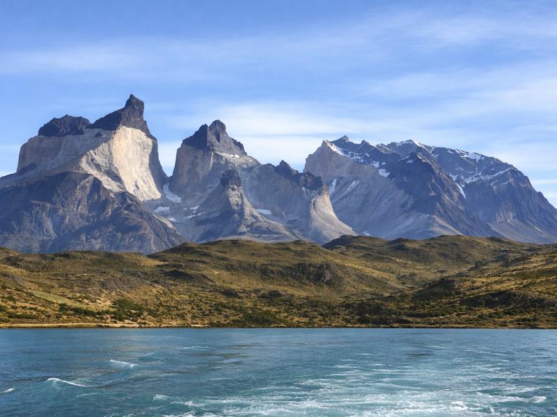
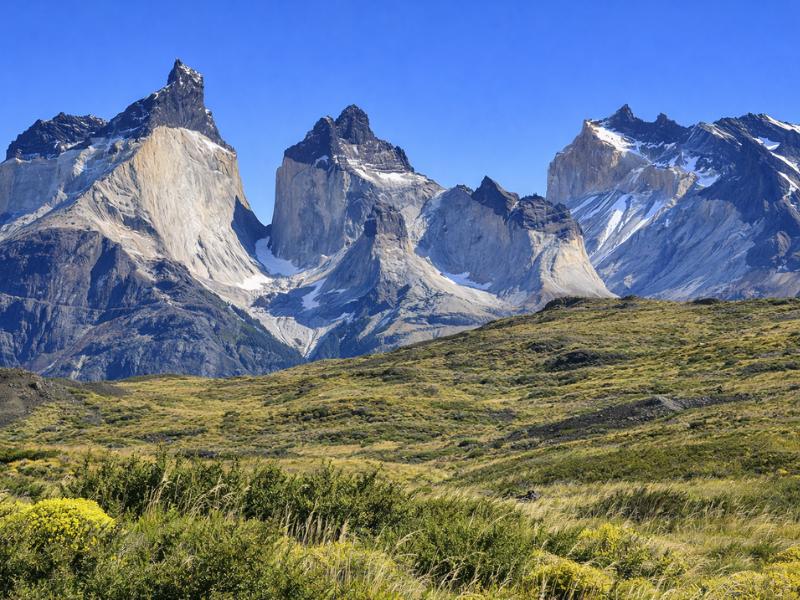
Torres del Paine Trail Map: Every Distance, Ascent and Walking Time
Every trail in the park with its real distance, ascent and walking time, plus the road links and fixed departures that decide whether the plan works.
Torres del Paine is 227,298 hectares with roughly 130 kilometres of marked trail, and the single most common planning error is treating a park map as a scale drawing of walking time. A 21 kilometre day at the towers and a 21 kilometre day in Pingo valley look identical on paper and feel nothing alike. This page is the distance, ascent and timing reference we wish existed as one table: every W leg, every day walk, every connection between them, and the things a contour line will not tell you.
Park walks ranked by distance
Every figure is an out and back total; park signage rounds differently and the Británico distance runs from 7.5 to 12 km depending on the source.
How does Torres del Paine fit together?
Think of three bands running east to west. Open steppe and the main entrances in the east, the granite massif through the middle, and lakes with the glacier in the west. One road axis strings them together: Laguna Amarga in the east, Pudeto in the middle at Lago Pehoé, and Administración in the south west.
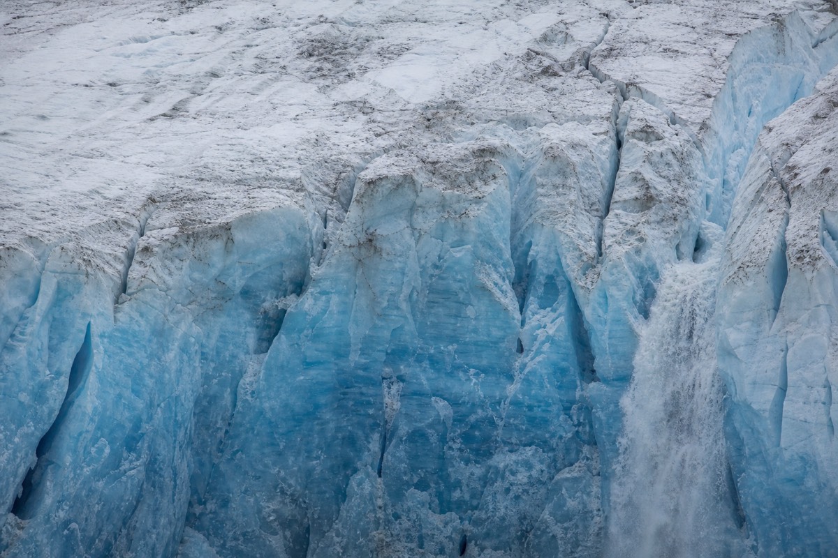
Almost every logistical problem in the park comes from that geography. The famous towers are at the eastern end. Grey Glacier is at the western end. They are in the same national park and they are not in the same day, because crossing between them means either a long road transfer or a full trekking leg. People book two nights, plan both, and lose most of the second day to the drive.
The eastern band is dry, exposed and where the wildlife is. Guanaco herds live on that steppe, the flamingo lagoons sit near Laguna Amarga, and the towers are reached from there. It is also the drier side: the west of the park gets significantly more rain, which is why the Grey sector can be under a squall while Laguna Amarga is in sunshine.
The central band is the massif itself, the wall of granite you see from every viewpoint, with Lago Nordenskjöld along its southern foot and Lago Pehoé beyond that. The western band is Lago Grey and the glacier tongue coming off the Southern Patagonian Ice Field. Entrances, or porterías, are Laguna Amarga in the east, which is the one buses use, Lago Sarmiento, and Río Serrano in the south. Laguna Azul is a separate northern access road.
| Sector | Landscape | Main draws | How you arrive |
|---|---|---|---|
| East, Laguna Amarga and Lago Sarmiento | Open steppe, drier | Base Torres trail, guanaco herds, flamingos | Bus from Puerto Natales, then the 7 km shuttle |
| Centre, Pudeto and Lago Pehoé | Lakes below the massif | Salto Grande, Mirador Cuernos, Mirador Condor | Bus stop at Pudeto, or your own vehicle |
| Centre-north, Valle Francés | Hanging glacier and amphitheatre | Mirador Francés, Mirador Británico | On foot only, from Italiano |
| West, Lago Grey | Glacial lake, wetter | Grey Glacier, the beach, Ferrier lookout | Catamaran plus a walk, or the southern road |
| South, Río Serrano and Administración | River valley | Park administration, southern access | Bus terminus, or road from Puerto Natales |
| North, Laguna Azul | Steppe and lake | Frontal view of the towers | Separate northern access road |
What is the most famous hike in Torres del Paine?
Base Torres, the walk to Mirador Las Torres, is the one everybody means. It is 21 kilometres round trip from the Welcome Center with 1,041 metres of ascent and takes 8 to 10 hours. Published figures vary: the guided day-trip listing gives 20 kilometres and 870 metres, which is the same trail measured differently.
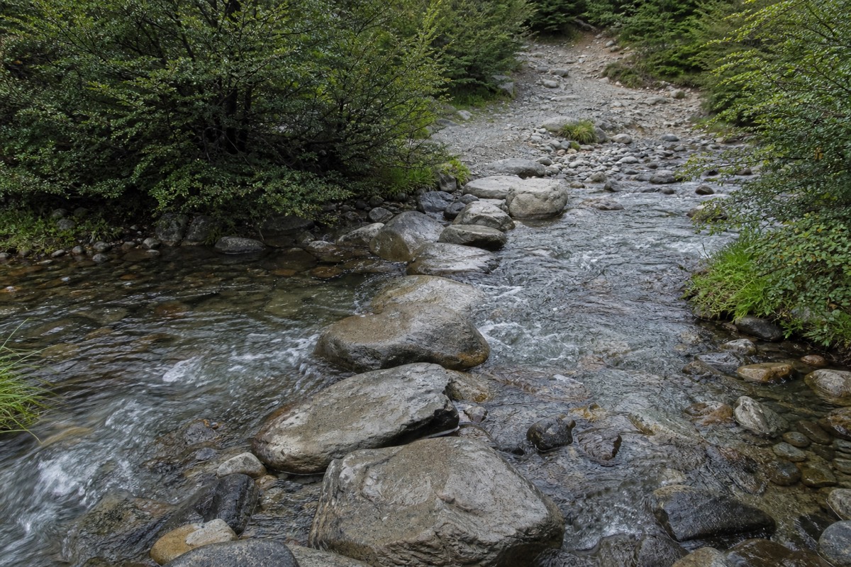
The difficulty is distributed unevenly, and that is the part a distance figure hides completely. The first two thirds are a steady valley walk with one exposed windy climb early on. The last 0.8 kilometres are a moraine scramble gaining about 200 metres over loose boulders, and that section alone takes about 45 minutes. Everyone who finds the hike hard finds that bit hard.
There is a shorter version that almost nobody plans for. From Refugio Chileno, partway up the valley, the round trip to the mirador is 8 to 10 kilometres and about four hours, which is why staying a night at Chileno turns a brutal day into a civilised morning. Chileno sells out first every year, without exception, and the Central, Chileno and Serón concessionaire opens the next season's calendar around April.
One rule catches winter visitors. From 27 April to 30 August 2026 the Base Torres trail requires an authorised guide. That is not a recommendation, it is a park requirement, and the park authority's closure notices. The full trail breakdown, including where the moraine starts and what the light does at the lagoon, is in the step-by-step Base Torres trail guide.
Every W leg, with distance, ascent and walking time
The W is commonly published at about 80 kilometres, with sources ranging from 60 to 85 depending on which side trips are counted, and cumulative ascent published between 2,730 and 3,480 metres. It is normally walked over 4 to 5 days. The table below is the leg-by-leg version, which is what you actually plan against.
Two things about these numbers. First, the ranges are real disagreements between published sources rather than sloppiness, and anyone who quotes you a single settled figure for the W has picked one and dropped the rest. Second, the times assume a day pack. Carrying full camping kit adds meaningfully to every line below, which is the strongest practical argument for the refugio route over camping.
The 5-day version of the W walks each arm as a separate out and back from a fixed base, which is why it covers similar ground in more comfort. The supported five-day itinerary we sell gives its legs as Base Torres 19.5 kilometres round trip, the Nordenskjöld leg 13.5 kilometres, the Valle Francés day 20.5 kilometres and the Grey day 22 kilometres round trip, which is another set of figures for the same route measured a third way.
| Leg | Distance | Ascent | Typical time |
|---|---|---|---|
| Base Torres from the Welcome Center | 21 km round trip (listing says 20 km) | 1,041 m (listing says 870 m) | 8 to 10 hours |
| Final moraine section to the mirador | 0.8 km | About 200 m | 45 minutes |
| Base Torres from Refugio Chileno | 8 to 10 km round trip | Not consistently published | About 4 hours |
| Torres Central to Refugio Cuernos, along Lago Nordenskjöld | 11 km one way | About 200 m | 4 hours |
| Campamento Italiano to Mirador Francés | 3.9 km out and back | 274 m | 1.5 hours |
| Campamento Italiano to Mirador Británico | 7.5 to 12 km out and back, sources differ | 640 m | 3.5 to 4 hours |
| Refugio Francés to Paine Grande | 7.5 km one way | About 100 m | 2.5 hours |
| Paine Grande to Refugio Grey | 11 km one way | Not consistently published | 4 to 4.5 hours |
| Refugio Grey to Mirador Grey and the suspension bridges | 5.6 km out and back | 150 m | 2 hours |
Which walks need no trek at all?
Seven of them, ranging from a 1.5 kilometre stroll at Salto Grande to a 21 kilometre day in Pingo valley. All are reachable on a day visit with a vehicle or a tour, none requires a refugio booking, and together they are how most visitors actually experience the park.
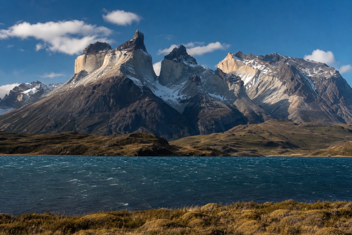
The short ones are genuinely short. Salto Grande from Pudeto is 1.5 kilometres out and back with 20 metres of ascent, about half an hour, and it delivers a waterfall with the Cuernos behind it. Mirador Cuernos continues from there for a 4 kilometre round trip and 150 metres of ascent. Mirador Condor near Pudeto is 3 kilometres and 200 metres for one of the best panoramas in the park relative to effort spent.
The long ones are day hikes in their own right. Pingo valley is 21 kilometres and 750 metres into forest on the western side, and Laguna Azul's area walk is 19.4 kilometres and 470 metres in the north. Neither sees much traffic, both are as long as the Base Torres day, and both are the kind of thing to do on a third or fourth day rather than a first.
The one that gets overlooked is the Lago Grey beach: 2 kilometres out and back, 50 metres of ascent, an hour, and it puts you beside grounded icebergs without a boat ticket. Full write-ups of the best of these sit in day hikes ranked by effort and reward.
| Walk | Distance | Ascent | Time |
|---|---|---|---|
| Salto Grande from Pudeto | 1.5 km out and back | 20 m | 30 minutes |
| Mirador Condor near Pudeto | 3 km out and back | 200 m | 1.5 hours |
| Mirador Cuernos from Salto Grande | 4 km out and back | 150 m | 1.5 hours |
| Lago Grey beach from Guardería Grey | 2 km out and back | 50 m | 1 hour |
| Ferrier lookout from Lago Grey | 4 km out and back | 300 m | 2 hours |
| Laguna Azul area walk | 19.4 km out and back | 470 m | 5 hours |
| Pingo valley | 21 km out and back | 750 m | 6 hours |
How does the W join up on the ground?
West to east, the standard direction and the one most packages sell: catamaran to Paine Grande, north to Refugio Grey and back, east to Italiano for Valle Francés, on along Lago Nordenskjöld to the Central sector, and finally up the Ascencio valley to the towers, usually at sunrise on the last morning.
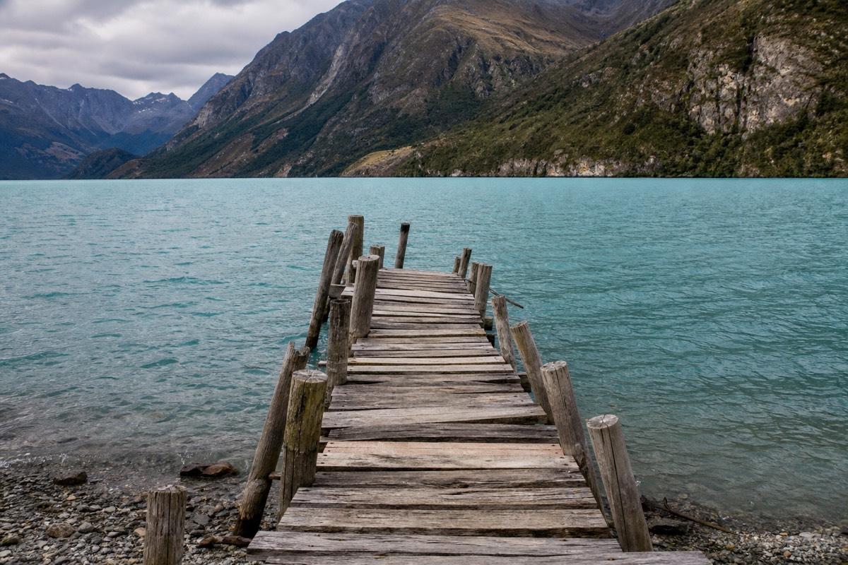
The letter W is not a metaphor, it is the shape on the map. Three valleys point north into the massif, and the trail runs up each one and back down before continuing east or west along the base. The three uprights are Grey, Valle Francés and Ascencio. The connecting strokes along the bottom are the lakeside legs, which are the flattest walking on the route.
Direction changes the trip more than people expect. West to east saves the famous view for last and lets you arrive at the towers on a morning you can choose based on the forecast you have been watching for four days. East to west starts with the hardest single day while your legs are fresh and puts the glacier at the finish. Both work. Bed availability usually decides it rather than preference.
The awkward truth about the W is that it has no road access in the middle. Once you are past Pudeto the only ways out are back to the catamaran or east to the Central sector on foot, and that is what makes a mid-trek weather day expensive. the full day-by-day W trek breakdown covers both directions and where the bail-out points genuinely are.
What connections does a trail map not price?
Two, and both cost money. The catamaran across Lago Pehoé from Pudeto to Paine Grande takes about 30 minutes and is roughly 26,000 CLP, about $45, one way. The shuttle from Laguna Amarga to the Welcome Center covers 7 kilometres for 4,000 to 4,500 CLP, cash only.
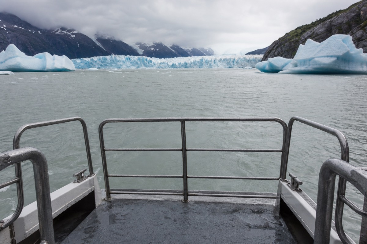
The shuttle is the one people miss. Buses from Puerto Natales stop at the Laguna Amarga entrance, and the Base Torres trailhead is a further 7 kilometres up the road. There is no walking that gap as part of the plan and no card machine at the other end, so arriving without Chilean pesos in cash is a genuine problem rather than an inconvenience.
The catamaran is the other. High-season departures from Pudeto are commonly listed around 08:30, 10:30, 16:15 and 18:00, timetables change every season, and sailings are cancelled in high wind. A W itinerary is built on that timetable, so a cancelled crossing does not delay your day, it deletes it. Everything else about park costs, including entry at 34,000 CLP for a foreign adult on one day or 48,500 CLP for the multi-day pass, is broken down in what the park and its connections really cost.
| Connection | Distance or duration | Cost | Catch |
|---|---|---|---|
| Catamaran, Pudeto to Paine Grande | About 30 minutes | About 26,000 CLP, roughly $45 one way | Fixed timetable, cancelled in high wind |
| Shuttle, Laguna Amarga to the Welcome Center | 7 km | 4,000 to 4,500 CLP | Cash only, meets the arriving buses |
| Park entry, foreign adult, 1 day | Valid one calendar day | 34,000 CLP, about $36 | Date-locked and non-refundable |
| Park entry, foreign adult, multi-day | Up to 10 consecutive days | 48,500 CLP, about $51 | Pays for itself on a second day |
Why do road distances matter more than trail distances on a day visit?
Recommended tours by season
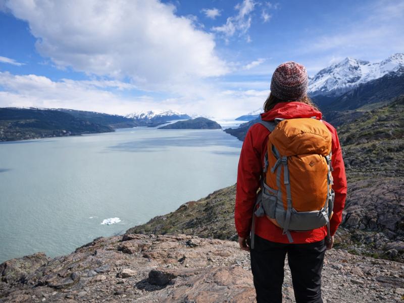
5-Day Torres del Paine W Trek – Guided Patagonia Adventure
The full W walked over five guided days, once the west-side refugios are open. Each valley is its own stage, with the nights already attached.
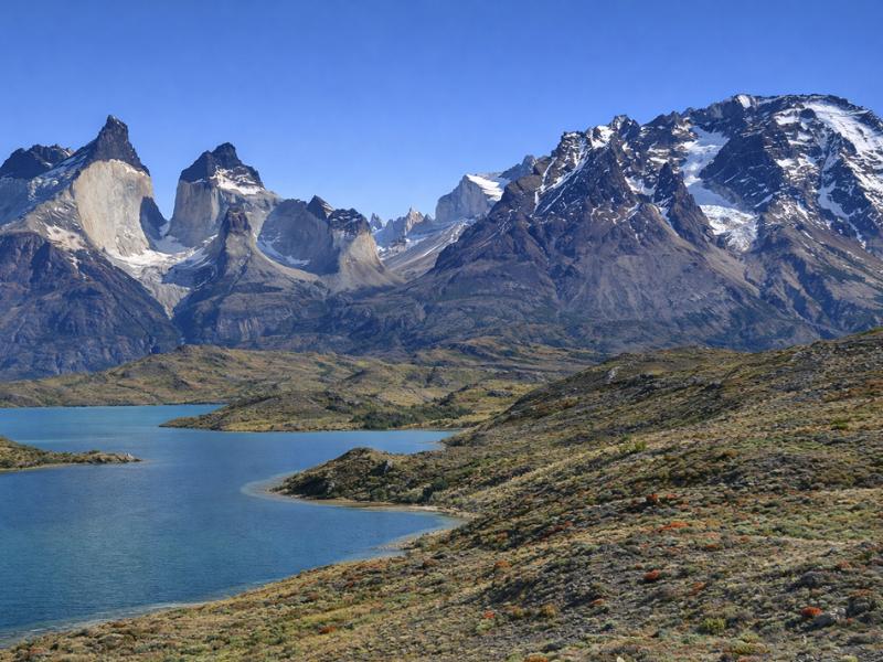
4-Day Torres del Paine Experience – Departing Puerto Natales
Four days from Puerto Natales when a day visit is too short and the full W is more walking than you want to organise.
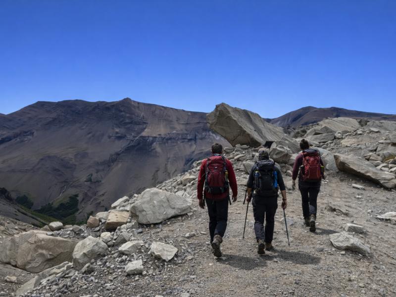
Torres del Paine Base Torres Trekking Day Trip from Puerto Natales
The 21 km walk to Mirador Las Torres as a guided day trip, including the months when the park requires an authorised guide.
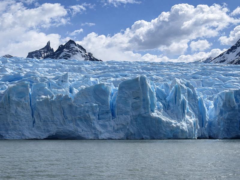
Torres del Paine: 3-Hour Grey Glacier Scenic Cruise
A three-hour boat trip to the Grey Glacier ice front. No trekking day and no refugio booking.
Because on a day trip the road is most of the day. Puerto Natales to the park is 112 kilometres and 2 to 3 hours to Laguna Amarga. Punta Arenas to Puerto Natales is 250 kilometres and 3 to 4 hours. El Calafate to the park is about 6 hours plus the border crossing at Cerro Castillo.
Five to six hours of road on a day trip leaves four to five hours inside the park, and that is the budget every day-visit itinerary is actually working with. It is why the standard full-day tour is a circuit of viewpoints and short walks rather than one long hike, and why a day trip that includes the Base Torres trail runs 10 to 12 hours and gets you back to town between 20:00 and 21:00.
Driving yourself adds its own arithmetic. The roads are a mix of paved highway and ripio gravel, there is no fuel inside the park at all, and rental agents warn about wind damage to car doors because it happens often enough to be a standard caution. Fill up before you go in and open doors facing away from the wind.
Crossing from Argentina is a different scale of problem. Rental cars need an advance cross-border permit costing around $150 and not every company allows it, and the agricultural service does not let fresh fruit, vegetables, meat, dairy or honey cross the border. The detail is in how the Puerto Natales road works and, for the Argentine approach, the El Calafate route and its border crossing.
| Road leg | Distance | Time | Typical cost |
|---|---|---|---|
| Punta Arenas to Puerto Natales | 250 km | 3 to 4 hours by bus | About $9 to $26 |
| Puerto Natales to Laguna Amarga | 112 km | 2 to 3 hours | About $20 to $29 one way |
| El Calafate to Puerto Natales | Crosses at Cerro Castillo | About 6 hours plus the border | About $40 to $50 |
| Private transfer in Puerto Natales | Door to door | Varies | Around $150, and there is no Uber in town |
How do you read an elevation profile honestly?
Look at where the ascent sits, not how much of it there is. Base Torres publishes 1,041 metres over 21 kilometres, and the guided listing gives 870 metres over 20, but the number that decides your day is the 200 metres packed into the final 0.8 kilometre moraine climb.
A profile flattened to fit a page hides gradient, and gradient is what hurts. Two trails with identical totals feel completely different if one climbs steadily over ten kilometres and the other does it in three bursts. Valle Francés is the clearest example in this park: 640 metres to Mirador Británico sounds moderate until you meet it as a sustained forested climb with a boulder section near the top.
Cumulative figures for multi-day routes deserve more suspicion still. The W is published anywhere between 2,730 and 3,480 metres of total ascent, a spread of 750 metres, which is more than the whole Pingo valley day. That range exists because different sources count different side trips and different start points. The O Circuit's roughly 4,971 metres includes the John Gardner Pass at 1,200 metres, and the ascent to it from Los Perros alone is roughly 550 to 600 metres.
The practical rule: plan on the higher published number, walk the trail at whatever pace the ground gives you, and treat the printed time as an average by fit walkers with day packs and decent weather. None of those three conditions is guaranteed here.
| Route | Published ascent | Spread between sources | Where the climb actually is |
|---|---|---|---|
| Base Torres | 1,041 m, listing says 870 m | 171 m | 200 m of it in the last 0.8 km of moraine |
| Mirador Británico from Italiano | 640 m | Distance disputed, 7.5 to 12 km | Sustained through forest, boulders near the top |
| Mirador Francés from Italiano | 274 m | Broadly agreed | Short and steady, 1.5 hours out and back |
| The full W | 2,730 to 3,480 m cumulative | 750 m | Depends which side trips are counted |
| The O Circuit | About 4,971 m cumulative | Distance runs 120 to 136 km | John Gardner Pass at 1,200 m is the crux |
What does the map not show? Wind exposure
No trail map marks the wind, and in Torres del Paine that is the biggest omission on the page. November averages 37 kph and gusts up to about 193 kph have been reported in the park. Everyday summer gusts of 60 to 100 kph are what people actually meet, and the wind builds through the afternoon almost every day.
Exposure varies enormously along a single route. Forested sections in the Ascencio and Francés valleys are sheltered. Lakeside legs along Nordenskjöld and the open steppe approaches are not, and neither are the moraine and the ridgelines, which is precisely where the ground is loose and a gust matters most. A 60 kph gust in a beech forest is a noise. The same gust on the Base Torres moraine puts people on the floor.
The timing pattern is reliable enough to plan around. Mornings are calmer, afternoons are windier, so a start at first light is not about beating crowds, it is about walking the exposed sections before the air gets up. In late December Puerto Natales gets roughly 05:00 to 22:00 of daylight, which makes an early start cheap in comfort terms.
Wind also cancels things a map cannot warn you about: the catamaran, the Grey Glacier sailings and every small-boat activity on the lakes. If your itinerary has a fixed crossing in it, it has a weather dependency in it. The month-by-month numbers are in what the weather does across the year, and the glacier-side consequences are in the Grey Glacier reference.
What does the map not show? Water, gates and cut-off times
Gate hours, control-point registration, seasonal closures and the fixed departures that govern a day. High season gates run 07:00 to 21:00, low season 08:00 to 18:30, and trail registration at control points applies on the Base Torres and W routes. None of that appears on a contour map.
Registration is not paperwork for its own sake. Control points on the Base Torres and W routes log who is on the trail, and rangers use start times to enforce turnarounds when weather closes in. On the O Circuit the equivalent is stricter still: departures from Los Perros before the John Gardner Pass are often required by 07:00, and CONAF closes the pass outright on conditions.
Seasonal closure is the other invisible layer. The O Circuit back side shuts through winter and CONAF listed the circuit as closed until at least 31 October 2026. The Base Torres trail requires an authorised guide from 27 April to 30 August 2026. the concessionaire running Paine Grande, Grey and Dickson follows its own calendar, with Paine Grande and Grey opening around 1 October and Dickson around 1 November.
Then the fire rule, which is the strictest thing in the park and is worth stating plainly on a page about trails. No fires, no camp stoves outside designated cooking areas, no smoking anywhere. Chilean law 20.653 carries fines up to 2 million CLP, up to three years in prison and expulsion from the park. Two of the park's worst fires were started by visitors, and the 2011-12 fire burned a large part of the eastern park. Buy entry in advance at the official ticketing portal, because tickets are date-locked and the payment totems at the gates exist mainly for private vehicles.
| Fixed time or date | What it governs | Detail |
|---|---|---|
| Gate hours, October to April | Park entry | 07:00 to 21:00 |
| Gate hours, May to September | Park entry | 08:00 to 18:30 |
| Catamaran from Pudeto | Access to Paine Grande | Commonly around 08:30, 10:30, 16:15 and 18:00 in high season |
| Los Perros departure | John Gardner Pass day | Often required by 07:00 |
| 27 April to 30 August 2026 | Base Torres trail | Authorised guide required |
| Refugio opening | Paine Grande and Grey | Around 1 October, Dickson around 1 November |
Where does the O Circuit extend the map?
The O adds the entire back side of the massif to the W, which is the part no day visitor ever sees. Most sources give 136 kilometres, with the full published range running 120 to 136, over 7 to 9 days and most often 8, with about 4,971 metres of cumulative ascent.
Direction is not a preference on the O, it is a rule. The circuit is walked counter-clockwise and the John Gardner Pass may only be crossed from the Los Perros side. The pass tops out at 1,200 metres, the ascent from Los Perros is roughly 550 to 600 metres, and the day as a whole typically runs 10 to 12 hours. It is the most weather-exposed point on either route.
The back-side camps are Serón, Dickson, Los Perros and Grey, all of which must be reserved in advance, and Los Perros is the most basic of them: cold showers, no wifi, and the last stop before the pass. The season is roughly November to March with CONAF setting the exact dates each year on conditions.
We do not sell the O Circuit and cannot book it. If the back side is what you want, treat this page as the distance reference and go direct to the concessionaires for beds. If the question is whether the extra four days earn their place, the honest comparison of the two routes lays it out, and the O Circuit reference covers the pass day in detail.
How do you turn this map into an actual plan?
Pick the shape of trip first, then read the distances that belong to it. One day means the central viewpoints and possibly Base Torres. Three days means the W's highlights from a fixed base. Five days or more means the full W or the O. Mixing the shapes is what produces broken itineraries.
On a single day, the road is the constraint rather than the trail. From Puerto Natales you are looking at 112 kilometres each way, so the honest options are a viewpoint circuit or one big hike, not both. the full-day adventure tour from Puerto Natales takes the circuit approach at $139 with Villa Cerro Castillo, the Sarmiento and Nordenskjöld viewpoints, Salto Grande, Lago Pehoé and the Milodon Cave. the guided Base Torres day trip takes the other approach at $99, with a 06:30 to 07:00 pickup, trekking poles and a 1:6 summer guide ratio.
Over three days the maths changes completely, because sleeping inside the park removes the road from four of your six travel legs. the three-day guided W alternative covers Base Torres, Valle Francés and the Grey Glacier viewpoint from two nights at Camping Pehoé, which means the three W uprights without carrying a full pack between them.
Whatever shape you choose, buy the multi-day park pass if you are staying more than one day, carry cash for the shuttle, and build one spare day into a park visit of four days or longer. That spare day is what a wind-cancelled catamaran costs you, and it is the difference between an itinerary that survives Patagonian weather and one that does not. The full set of Torres del Paine tours we list, from single days to the supported five-day W, is on the homepage, and how to sequence three to seven days puts the pieces in order.