The W Trek in Torres del Paine: A Complete Guide
About 80 km along the southern face of the massif, walked in four or five days, with three separate reservation systems standing between you and the trail.
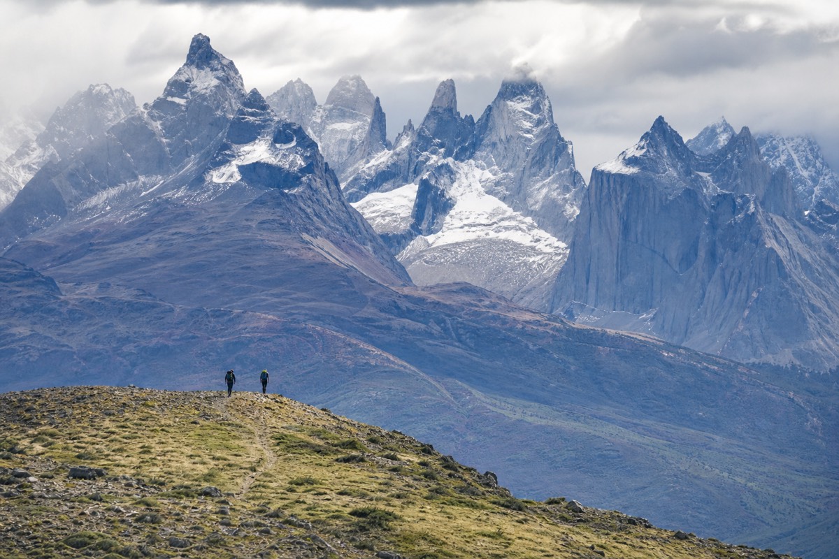
Two letters of shorthand hide a great deal of planning. The W is walked by more people than any other route in Chilean Patagonia, and almost everyone who walks it reserves it through three separate systems that do not talk to each other. The walking, oddly, is the simple part.
The W leg by leg
Mirador Británico is published between 7.5 and 12 km depending on where the count starts, so the bar shows the lower figure.
What is the W Trek, and why is it called the W?
The W is a point-to-point trek of about 80 km along the southern face of the Paine massif, walked in four or five days. The name comes from the shape it draws on a map: three valleys running north into the mountains, joined by two lakeside legs, which together trace a rough letter W. Nothing about the route is a loop, which is why transport at both ends decides so much of the planning.
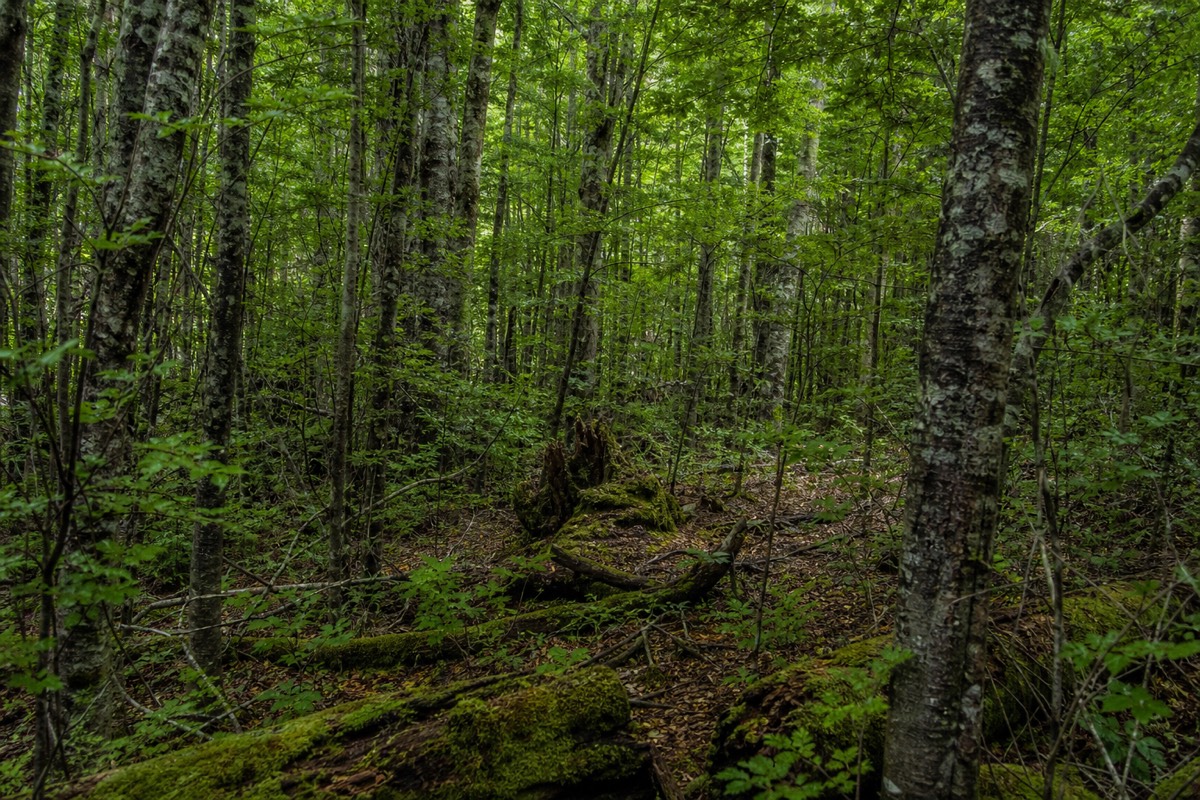
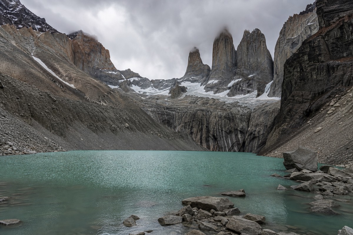
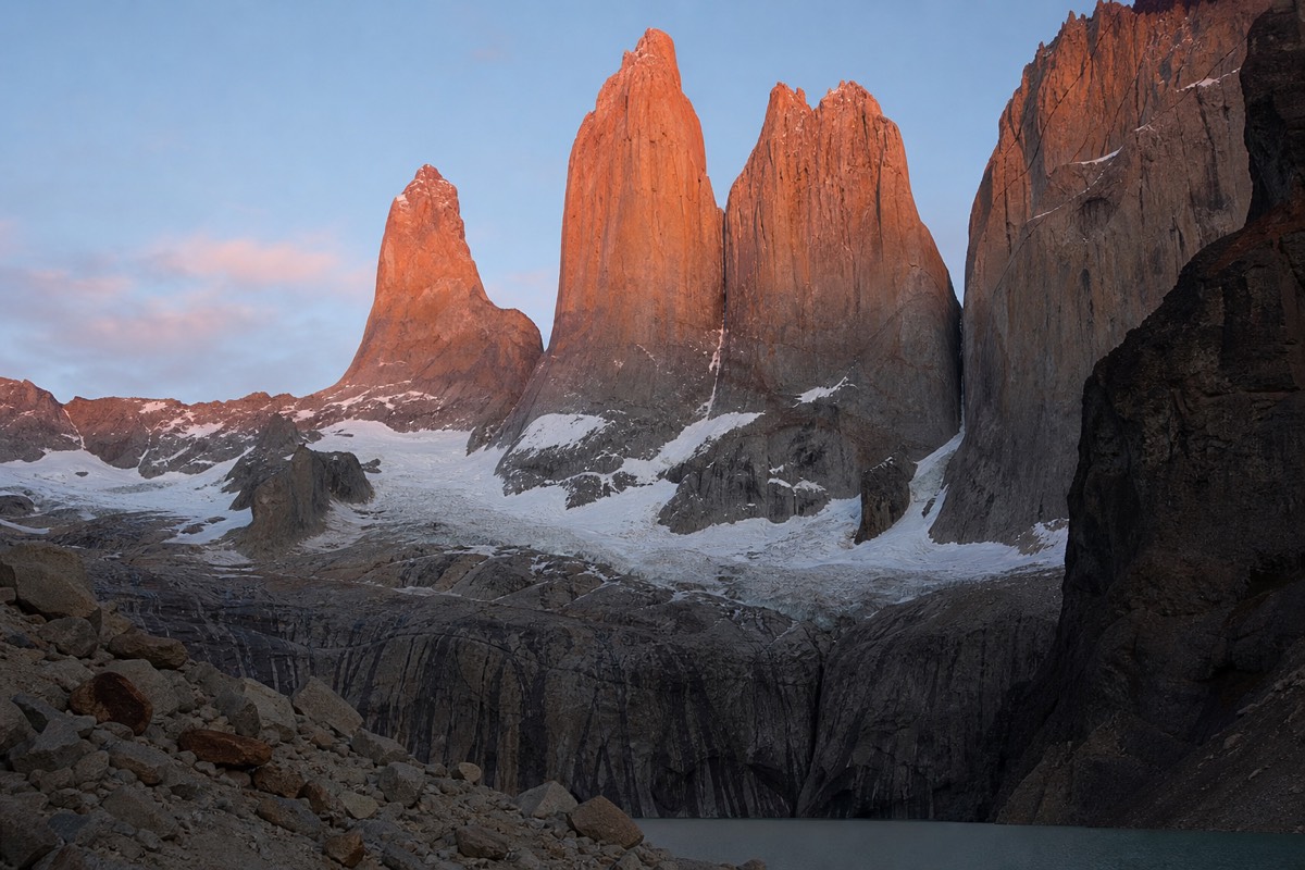
The three upward arms are what people come for. The eastern arm climbs the Ascencio valley to the glacial lagoon under the granite towers, the walk covered in detail on the Base Torres trail step by step. The middle arm turns north into Valle Francés, past a hanging glacier that sheds ice across the valley wall, described on the French Valley route and its two viewpoints. The western arm runs out along Lago Grey towards the glacier front, which is where the Grey Glacier and the ways to reach it becomes relevant.
The two horizontal legs join those arms together. One runs along the northern shore of Lago Nordenskjöld between the Central sector and Refugio Francés, roughly 11 km with only about 200 m of gain. The other carries on from Refugio Francés to Paine Grande, 7.5 km and about 100 m of gain in around two and a half hours. Neither is dramatic. Both are exposed to wind coming off the water, and both are longer in practice than the flat profile suggests.
The park maintains roughly 130 km of marked trail in total, so the W is well inside a signed and patrolled network rather than out on open ground. Control points on the Base Torres and W routes register hikers, which is both a safety measure and a reminder that the park counts who is where. In 2024 the park recorded 367,426 visitors, and January and February carry the heaviest load of them.
How long is the W Trek, and how much climbing does it involve?
About 80 km, or roughly 50 miles, is the figure almost every source publishes. The honest range is wider: published distances run from 60 to 85 km depending on which side trips are counted. Cumulative ascent is published between 2,730 m and 3,480 m, which is a spread of more than 700 m. Both ranges exist for the same reason, which is that the W is not one fixed line.
Whether you sleep at Chileno or at the Welcome Center changes the Base Torres day by several kilometres. Whether you walk to Mirador Francés and turn round, or carry on to Mirador Británico, changes the middle arm by hours. Whether the Grey day ends at the mirador, at the suspension bridges or further along the trail changes the western arm again. Add those up and you get an 80 that is really a band.
The practical consequence is that a published total is a poor planning tool. Day distances are better. The longest single day on most W itineraries is the Base Torres round trip, published at 21 km with 1,041 m of ascent from the Welcome Center, though the day-trip listing for the same walk gives 20 km and 870 m. Those two figures come from different starting points and different measuring methods, and neither is wrong. Plan for the larger one.
Ascent is where the W surprises people who read the distance first. Roughly 3,000 m of cumulative climbing spread across four or five days does not sound severe until you notice it is concentrated: the moraine to the towers, the pull up the Francés valley, and the rolling gain on the Grey trail carry most of it, while the lakeside legs contribute almost nothing.
Should you walk the W in four days or five?
Five days is the shape most packages sell, and it walks each arm as a separate out-and-back from a fixed base, which keeps the pack light and the days honest. Four days compresses that by cutting a night, usually by combining legs or dropping one arm short. Bed availability decides this more often than preference does.
The five-day version has a clean logic to it. You sleep four nights, walk on each of the middle days, and never carry a full pack up an arm, because the arm is walked from the place you slept and returns to it. The supported five-day W we list publishes its walking legs as a 19.5 km Base Torres round trip, a 13.5 km Nordenskjöld leg, a 20.5 km French Valley day and a 22 km Grey day, which is the same shape described in kilometres.
Four days works, and plenty of people walk it, but something gives. Usually it is Mirador Británico, sometimes it is the far end of the Grey trail, and occasionally it is a 12-hour day that nobody enjoyed. The compression is not evenly distributed either: the arm you cut short is the one where your accommodation happened to be available, not the one you cared least about.
| Question | Four-day W | Five-day W |
|---|---|---|
| Nights inside the park | 3 | 4 |
| Full walking days | 3 to 4 | 4 |
| How the arms are walked | At least one arm cut short or combined with a joining leg | Each arm walked as its own out and back |
| Longest likely day | Longer than 21 km once legs are combined | The 21 km Base Torres round trip |
| What usually gets dropped | Mirador Británico, or the far end of the Grey trail | Nothing, if the weather holds |
| Who it suits | Walkers short on days who accept a partial middle arm | Most people, most of the time |
Three days is a different animal again. It is not a shortened W so much as a separate trip built around a fixed base, which is how the three-day guided W alternative works: the Base Torres trail, Valle Francés and the Grey viewpoint walked from two nights at Camping Pehoé, so full packs never move.
West to east, or east to west: which direction should you walk?
West to east is the more common direction and the one most packages sell. You take the catamaran across Lago Pehoé to Paine Grande, walk the Grey arm first and finish at the towers, often at sunrise. East to west starts with the hardest day while your legs are fresh and ends at the glacier. Both work. The trade-offs are real, not marketing.
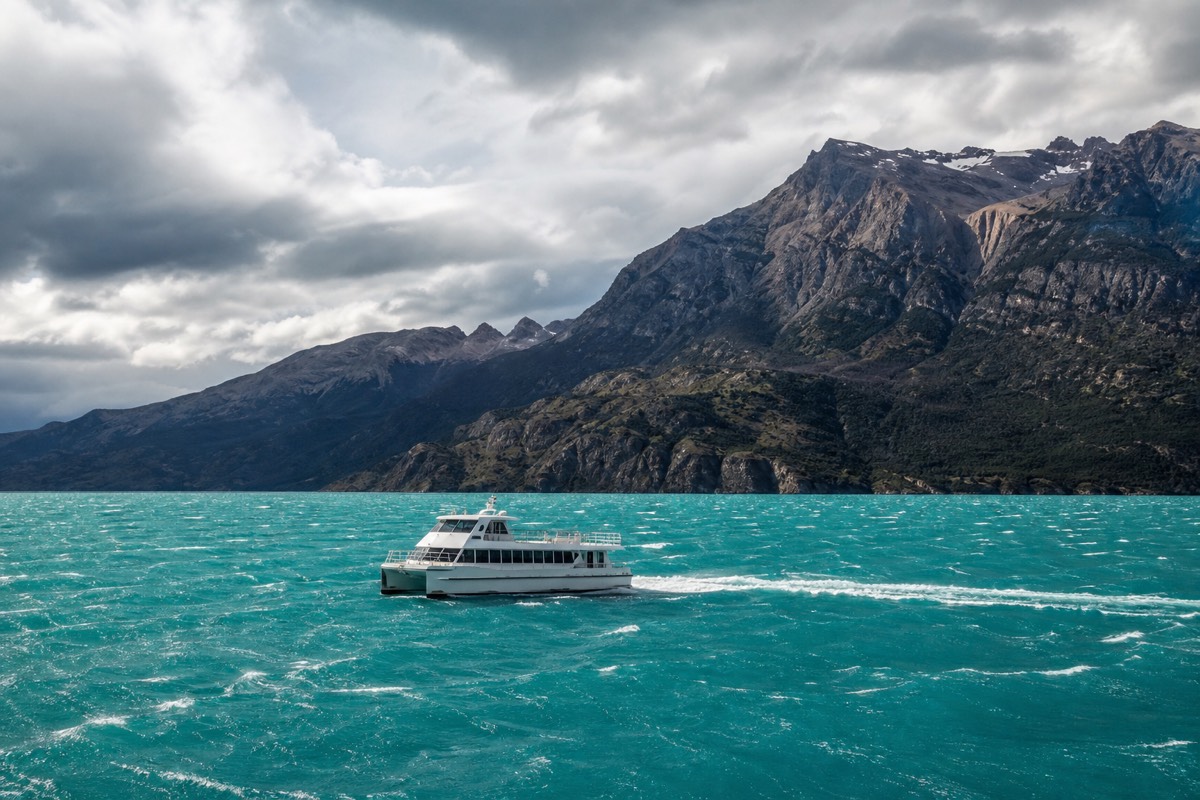
The argument for west to east is emotional and logistical at once. Finishing at the towers gives the trek a summit, and the eastern end is where the road, the shuttle and the buses to Puerto Natales are, so the last day ends near transport rather than at a boat slip. It also means the catamaran happens on day one, when a cancellation costs you a rearranged start rather than a missed bus home.
The argument for east to west is physical. The Base Torres day is the biggest single effort on the route, 21 km with 1,041 m of ascent, and doing it on day one means doing it with fresh legs and no accumulated fatigue. It also puts Grey Glacier at the end, which suits anyone who came primarily for ice rather than granite.
| Consideration | West to east | East to west |
|---|---|---|
| How you start | Bus to Pudeto, catamaran to Paine Grande | Bus to Laguna Amarga, shuttle to the Welcome Center |
| First major day | The Grey arm | Base Torres, 21 km and 1,041 m |
| The towers | Last, often walked for sunrise | First, on fresh legs |
| Catamaran risk | On day one, so a cancellation reshuffles the start | On the final day, so a cancellation threatens your onward bus |
| Ends near | Road transport at the eastern gate | The Pudeto boat slip |
| What packages sell | Most of them | The minority |
One point is often missed. The catamaran is a fixed timetable, not a shuttle, so the direction you choose decides which day of your trek is hostage to the wind. Putting that risk on day one, when you are still in Puerto Natales with options, is a genuine reason west to east dominates.
Leg by leg: the distances, ascent and timings that matter
The W is a set of published segments, and the segment figures are far more useful than the route total. The table below is the trail data most sources agree on, with the disagreements marked where they exist. Times assume a moderate pace with photo stops and no weather delay, which is an assumption the wind regularly breaks.
| Leg | Distance | Ascent | Typical time |
|---|---|---|---|
| Base Torres from the Welcome Center | 21 km round trip (one listing says 20 km) | 1,041 m (one listing says 870 m) | 8 to 10 hours |
| Final moraine section to the mirador | 0.8 km | About 200 m | 45 minutes |
| Base Torres from Refugio Chileno | 8 to 10 km round trip | Not published consistently | About 4 hours |
| Torres Central to Refugio Cuernos, along Lago Nordenskjöld | 11 km one way | About 200 m | 4 hours |
| Campamento Italiano to Mirador Francés | 3.9 km out and back | 274 m | 1.5 hours |
| Campamento Italiano to Mirador Británico | 7.5 to 12 km out and back, sources differ | 640 m | 3.5 to 4 hours |
| Refugio Francés to Paine Grande | 7.5 km one way | About 100 m | 2.5 hours |
| Paine Grande to Refugio Grey | 11 km one way | Not published consistently | 4 to 4.5 hours |
| Refugio Grey to Mirador Grey and the suspension bridges | 5.6 km out and back | 150 m | 2 hours |
A few of those rows deserve a sentence. The 0.8 km moraine is the one everybody remembers: 45 minutes of loose boulder-hopping with about 200 m of gain, at the end of a long climb, and it is where the day becomes hard rather than merely long. The Grey trail crosses three suspension bridges, the longest of them strung high above a gorge, and they are one-at-a-time crossings that queue in high season. The Nordenskjöld leg looks flat on paper and walks longer than it reads, because the trail keeps rolling in and out of small drainages.
Mirador Británico is the honest weak point in the published data. Distances run from 7.5 km to 12 km out and back from Campamento Italiano depending on where the count begins, and the ascent of 640 m does not vary much between sources. If your day is tight, Mirador Francés at 3.9 km round trip delivers the hanging glacier without committing to the upper amphitheatre.
How difficult is the W Trek in Patagonia?
It is a moderate walk made hard by repetition, weather and one steep section. There is no technical ground, no rope work and no altitude problem anywhere on the route. What tires people is four or five consecutive days of five to ten hours on rocky trail, in wind that gusts 60 to 100 kph on ordinary summer afternoons.
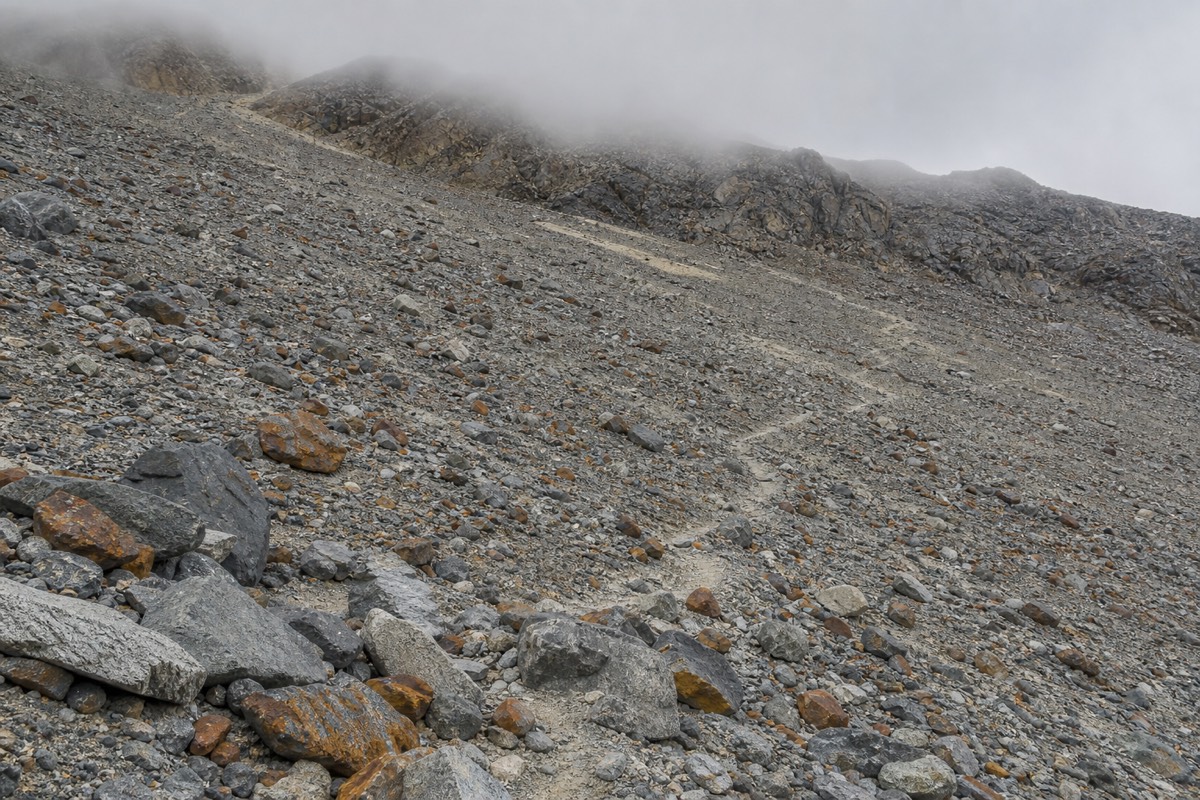
The difficulty is unevenly distributed, which is why single-number ratings mislead. Two of the days are effectively long lakeside walks with about 200 m of gain. One day is a 21 km round trip with 1,041 m of climbing, ending in a moraine scramble. The Francés day is somewhere in between, and it is the one most affected by weather, because the upper valley closes in cloud far more often than the lower trail does.
Wind is the variable that separates the W from a similar-sized trek elsewhere. November is the windiest month in the regional record, averaging 37 kph at the Puerto Natales station, and the park itself runs windier than the town. Regional sources have reported gusts up to about 193 kph, which is an extreme rather than a forecast, but the everyday reality of 60 to 100 kph gusts is enough to stop you mid-stride on an exposed shoulder. Wind almost always builds through the afternoon, which is the practical argument for early starts.
Rain matters less than people expect and more than they prepare for. December records 155 mm across 16 wet days at the regional station, January 147 mm across 16, and the western side of the park around Grey is considerably wetter than the eastern steppe. It is entirely normal for the Grey sector to be under rain while Laguna Amarga is dry. Frontal systems cross the massif quickly, which is where the four-seasons-in-one-day description comes from.
Underfoot, the trail is rock, root and gravel rather than smooth path. Trekking poles are standard equipment for a reason, and the guided day-trip listings include them. The gear that actually matters in Patagonian wind is worth reading before you rent anything. For how the W stacks up against the park's other trails on pure difficulty, our broader look at hike difficulty across the park puts them side by side.
How fit do you need to be for W Trek?
Fit enough to walk eight to ten hours with about 1,000 m of ascent, sleep in a dorm or a tent, and then get up and walk six more hours the next day, and the day after that. Single-day fitness is not the test. Overnight recovery is. Most people who struggle on the W are not unfit; they are unaccustomed to consecutive days. If this is your first attempt at a multi-day trail at all, whether Patagonia suits a first-timer is worth reading alongside this section.
The useful preparation is repetition rather than intensity. Back-to-back long walks on uneven ground, in the boots and with the pack you will actually carry, tell you more than any gym benchmark. The moraine section is the one place where a specific skill shows up: descending loose rock on tired legs, which is a different act from climbing it.
| Benchmark | What it looks like on the W | Where it bites |
|---|---|---|
| Consecutive days | Four to five walking days in a row | Day three, almost universally |
| Longest day | 21 km with 1,041 m of ascent | The Base Torres round trip |
| Steepest sustained section | 0.8 km and about 200 m in roughly 45 minutes | The final moraine to the mirador |
| Descent tolerance | The same 1,041 m, downhill, at the end of the day | Knees, not lungs |
| Wind tolerance | Gusts of 60 to 100 kph on exposed sections | Afternoon lakeside legs |
| Load | A full pack if you camp and cook, a light pack if beds and meals are arranged | Every uphill |
That last row is the lever most people can pull. Sleeping in refugio beds with meals arranged, rather than carrying a tent, stove and five days of food, changes the trek more than any amount of training does. It also changes the price, which is the subject of the cost section further down, and of the honest comparison between self-guiding and a guided package. For the fitness bar spelled out in more detail, how fit the W actually requires you to be goes further than the summary above.
Recommended tours by season
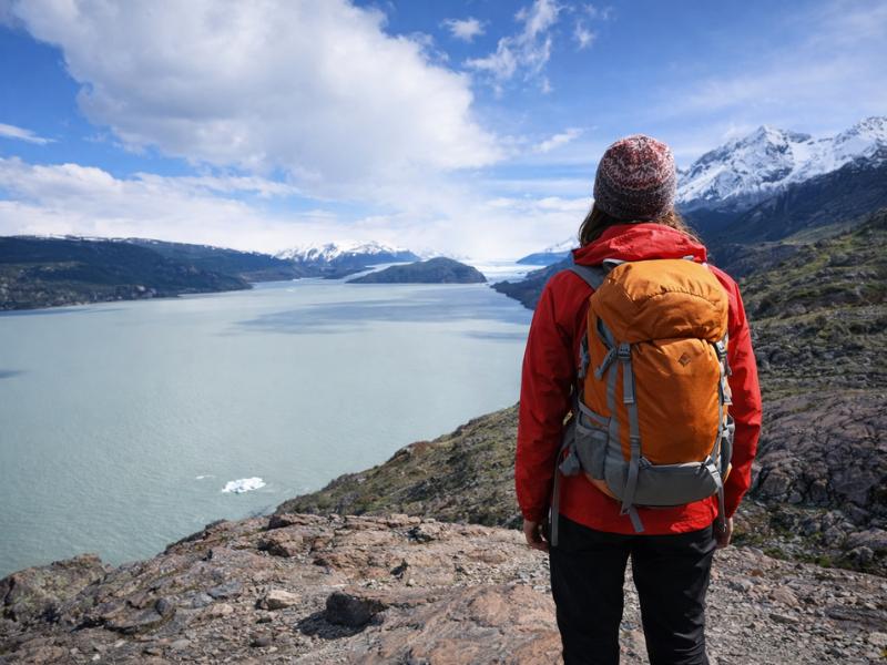
5-Day Torres del Paine W Trek – Guided Patagonia Adventure
For the main walking season, when beds have to be matched across two concessionaires. Each arm is walked as its own out and back, with nights, meals and transfers reserved together.
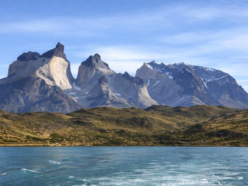
Torres del Paine W Trek Alternative 3-Day Guided Tour
Base Torres, Valle Francés and the Grey viewpoint from two nights at Camping Pehoé. Built for a shorter window than a four- or five-day W, without moving a full pack.
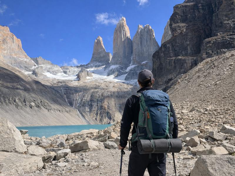
Torres del Paine 2-Day Express Tour – Aventura & Highlights
The towers on day one, then the Condor and Cuernos viewpoints, with a night at Camping Pehoé. The listing includes trekking poles and crampons on winter departures.
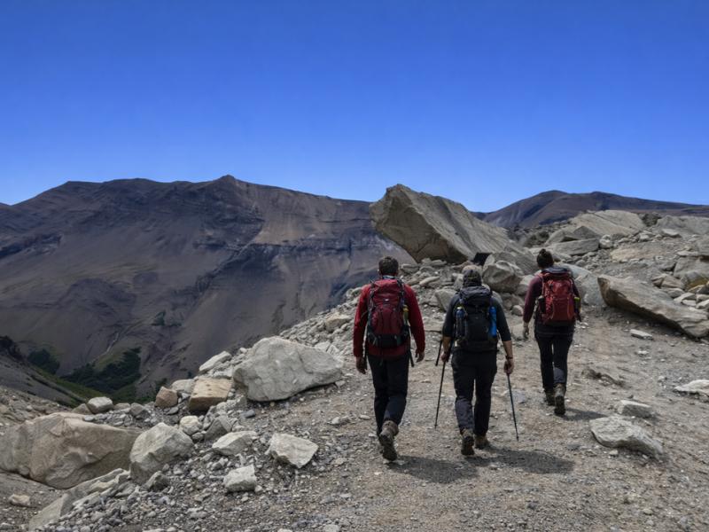
Torres del Paine Base Torres Trekking Day Trip from Puerto Natales
The eastern arm as a single guided day from town. From 27 April to 30 August 2026 this is also the required format for that trail.
Why the W means dealing with three separate systems
Two concessionaires run the accommodation and they take reservations separately, and park entry is a third booking with a third operator. Las Torres Patagonia holds Central, Chileno and Serón. Vertice Patagonia holds Paine Grande, Grey, Dickson and Los Perros. Park entry is bought at pasesparques.cl. Nothing syncs.
This is the single biggest planning pain point on the route, and it catches people who have booked treks all over the world. A W itinerary alternates between sectors, so a five-night plan will usually need beds from both companies on specific consecutive dates. If one company confirms your nights and the other does not, you do not have a trek, you have two thirds of one, and the fix is to change the dates on the side that did confirm.
| System | Sectors it controls | What you reserve | Where |
|---|---|---|---|
| Las Torres Patagonia | Central, Chileno, Serón | Refugio beds and equipped camping | the Las Torres reservations site |
| Vertice Patagonia | Paine Grande, Grey, Dickson, Los Perros | Refugio beds, own-tent sites, meals | the Vertice Patagonia site |
| CONAF, through pasesparques | The whole park | The dated entry ticket | the official park ticketing portal |
| Transport operators | Buses and the Pudeto catamaran | Seats and crossings | Bought separately from each operator |
Timing makes it harder. The concessionaires open the next season's calendar around April, and the popular December and January dates go quickly. Chileno sells out first, every year, because it is the only accommodation partway up the Ascencio valley and it turns the Base Torres day from 21 km into something closer to 8 to 10 km. No free CONAF campsites are operating; they closed and have not reopened for the 2025-26 season, so a plan that depends on free camping is not a plan. The mechanics, sector by sector, are laid out in how refugio and campsite reservations actually work.
Park entry is its own trap. Tickets are date-locked and non-refundable except when the park itself closes, which means a weather day spent in Puerto Natales is a ticket you paid for and did not use. The multi-day ticket, currently 48,500 CLP, covers up to ten consecutive days with re-entry, and the pricing detail sits in the park ticket and fee breakdown.
The catamaran, the shuttle, and what happens when wind cancels the boat
Two short connections hold the W together. The Pudeto to Paine Grande catamaran crosses Lago Pehoé in about 30 minutes for roughly 26,000 CLP, around $45 one way. The Laguna Amarga shuttle covers the 7 km to the Welcome Center for 4,000 to 4,500 CLP, cash only. Neither is optional, and both are regularly forgotten in budgets.
High-season departures from Pudeto are commonly listed around 08:30, 10:30, 16:15 and 18:00, but timetables change every season and the published times are the ones to check rather than the ones to trust from an old blog. The important thing is the structure: a handful of fixed sailings a day, not a continuous service. Miss the last one and you are not walking around the lake, because there is no trail that does that in a day.
| Connection | Distance or time | Published cost | What to know |
|---|---|---|---|
| Punta Arenas to Puerto Natales, bus | 250 km, 3 to 4 hours | About $9 to $26 | Several departures daily, including airport pickups |
| Puerto Natales to Laguna Amarga, bus | 112 km, 2 to 3 hours | About $20 to $29 one way | High-season departures commonly around 06:45, 07:00, 12:00 and 14:30 |
| Laguna Amarga to the Welcome Center, shuttle | 7 km | 4,000 to 4,500 CLP | Cash only, meets the arriving buses |
| Pudeto to Paine Grande, catamaran | About 30 minutes | About 26,000 CLP, around $45 one way | Fixed sailings, cancelled in high wind |
| Private transfer from Puerto Natales | Varies | Around $150 | There is no Uber in Puerto Natales |
Wind cancellations are the scenario worth planning for rather than worrying about. Lago Pehoé sits open to the westerlies, and sailings are called off when it gets rough. If you are walking west to east and the boat does not run on day one, you lose a day and rearrange forward, which is annoying but survivable. If you are walking east to west and the boat does not run on your final day, you are stranded at Paine Grande with reserved beds behind you and a bus you have already paid for ahead.
The defences are ordinary ones. Build a spare day at the Puerto Natales end rather than the park end. Take the earlier sailing rather than the last. Keep enough Chilean pesos in cash for the shuttle and an unplanned night, because card acceptance inside the park is not something to rely on. The road connection itself is covered in the Puerto Natales to park transport options.
How expensive is the W Trek Patagonia?
Published self-guided totals run roughly $600 to $1,500 per person depending on whether you camp or take refugio beds. Guided packages run $1,700 to $3,500 and up. The supported five-day W we list is $1,905 and the three-day guided alternative is $1,175. Park entry sits on top of most self-guided budgets at 48,500 CLP for the multi-day ticket.
The gap between $600 and $1,500 is almost entirely beds and food. An own-tent site with Vertice is published at $11 to $14 per person per night, while a dorm bed runs $46 to $114 depending on season and sector, and equipped camping with Las Torres is published in the $30 to $50 range, rising to $40 to $90 at Serón in high season. Multiply either by four nights and the shape of the budget is set before you have bought a single meal.
| Line item | Published figure | Notes |
|---|---|---|
| Park entry, foreign adult, multi-day | 48,500 CLP, about $51 | Up to 10 consecutive days, date-locked, non-refundable |
| Own-tent campsite | $11 to $14 per person per night | Vertice sectors |
| Refugio dorm bed | $46 to $114 per person per night | Varies by season and sector |
| Equipped camping | $30 to $50, and $40 to $90 at Serón in high season | Las Torres sectors |
| Breakfast in a refugio | Around $25 | Sources vary, check the concessionaire |
| Box lunch | $20 to $50 | Ordered the night before |
| Dinner | $35 to $70 | Full board is often quoted around $100 a day |
| Catamaran, one way | About 26,000 CLP, around $45 | Most itineraries need one crossing |
| Tent rental in Puerto Natales | About $37 a day | Sleeping bags about $8 a day |
| Self-guided all-in, published range | $600 to $1,500 | Camping at the low end, refugios at the high end |
| Guided packages, published range | $1,700 to $3,500 and up | Our supported five-day W is $1,905 |
Two currency notes. Prices in the park are set in Chilean pesos and move, and CONAF applied a 4.9% inflation adjustment for January to April 2026 while postponing its new differentiated tariff system to 1 May 2026, so treat every peso figure here as current rather than permanent. Keep your PDI tourist card with your passport too: presenting both at hotel check-in is what triggers the 19% IVA exemption for foreign tourists paying in foreign currency, which is worth real money across several nights in Puerto Natales. The full line-by-line cost breakdown goes further into where that money actually goes.
Food, water and what you carry
Water is the easy part and food is the expensive part. Streams along the W are drunk from routinely by hikers and refugios sell meals at published rates that cluster around $25 for breakfast, $20 to $50 for a box lunch and $35 to $70 for dinner. Carrying five days of food is the cheapest option and the heaviest one.
Meals have to be arranged in advance in practice, because refugio kitchens cook to a count. A full-board supplement is often quoted at around $100 a day, which prices the convenience plainly: four days of full board sits in the same territory as the entire low end of a camping-and-cooking trip. Box lunches are ordered the night before, so a plan that involves deciding at breakfast tends not to work.
Cooking your own food is legal only in the designated cooking areas. This is not a soft rule. CONAF prohibits fires, camp stoves outside those areas and smoking anywhere in the park, and Chilean law 20.653 carries fines up to 2 million CLP, up to three years in prison and expulsion from the park. Three major fires in 1985, 2005 and 2011-12 were visitor-caused, and the 2011-12 fire burned a large part of the eastern park. Treat the fire rule as the strictest thing in Torres del Paine, because it is.
The rest of the carry list follows from where you sleep. In a refugio with meals, a day pack with layers, waterproofs, water and snacks is enough. Camping with your own food means a tent, a mat, a bag, a stove used only in the cooking shelters, and the weight of five days of meals from the first morning. Rental in Puerto Natales softens the cost, at about $37 a day for a tent and $8 for a sleeping bag, but not the weight. Current rules and closures are posted by CONAF, the park authority.
Who should not attempt the W Trek?
Anyone who cannot walk eight to ten hours on rough ground and repeat it the next day. Anyone travelling between 27 April and 30 August 2026 without a guide, because the Base Torres trail requires an authorised guide in that window. And anyone whose dates are so tight that a single wind day breaks the plan.
The winter rule is the clearest cut-off. From 27 April to 30 August 2026 the Base Torres trail may only be walked with an authorised guide, most refugios shut, and the O Circuit back side is closed entirely. The W remains walkable in winter, but guided trips are the norm rather than an upsell. Gate hours also shorten, from the high-season 07:00 to 21:00 down to 08:00 to 18:30 between May and September, which compresses every day plan.
Time pressure is the quieter disqualifier. The W has no shortcut and no road access in the middle, so a cancelled sailing or a closed leg has to be absorbed somewhere. If your flight out of Punta Arenas is two days after your last trekking day, you have a buffer. If it is the same evening, you have a problem waiting for a windy afternoon.
None of that means giving up on the park. The Base Torres viewpoint is reachable as a single long day from town on the guided Base Torres day trip, and the two-day express trip with a night at Camping Pehoé covers the towers, the Condor viewpoint and the Cuernos in a shape that does not need four consecutive walking days. If you want the full route with the logistics handled, the supported five-day W with beds, meals and transfers arranged exists precisely because the three-system reservation problem defeats a lot of otherwise capable walkers. All of the Torres del Paine tours we list start from Puerto Natales or El Calafate, so the choice is really about how many days you have and how much you want to organise yourself. If you are reading this before committing to the trip at all, whether the park earns the distance and the cost answers the question this guide assumes you have already settled.